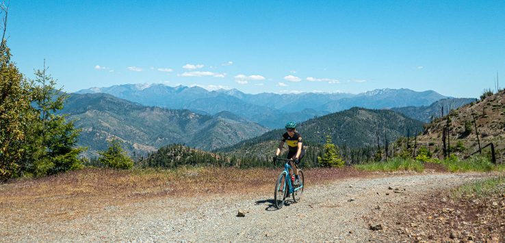
The terrain along the Trinity River in Northern California is very hilly. Very. There is room for a river, a road, a couple houses and then the canyon walls rising steeply. We cheated and drove a few miles to get further up the winding Corral Bottom Road for a ride.
This ride was mostly paved, though rough in spots. I’m not sure it gets more than a car a day. After a few miles of twisty roads up, we parked and hopped on our bikes. There is a junction here and we went towards Hayfork, following a handwritten sign on a piece of wood. The road is only about one lane as it swoops through the forest and across old burn sections left from the Monument Fire in 2021. It’s quite the contrast from open drier sections and lush forested stretches.
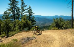
Our ride had three distinct climbs but none seemed that bad to me. Don’t get me wrong, this isn’t a walk in the park, but with constant beauty surrounding you, it’s easy to tick off the miles. The Trinity Alps are amazingly rugged and remote. This is an out and back so turn around when you like. Though looking at the map, you could make a long loop with some other back roads. We plant to do a gravel loop soon that heads around there. So many options for quiet miles. Plus, it’s cooler up here at elevation. Win win.
Leave a Reply